Category 2 historic place
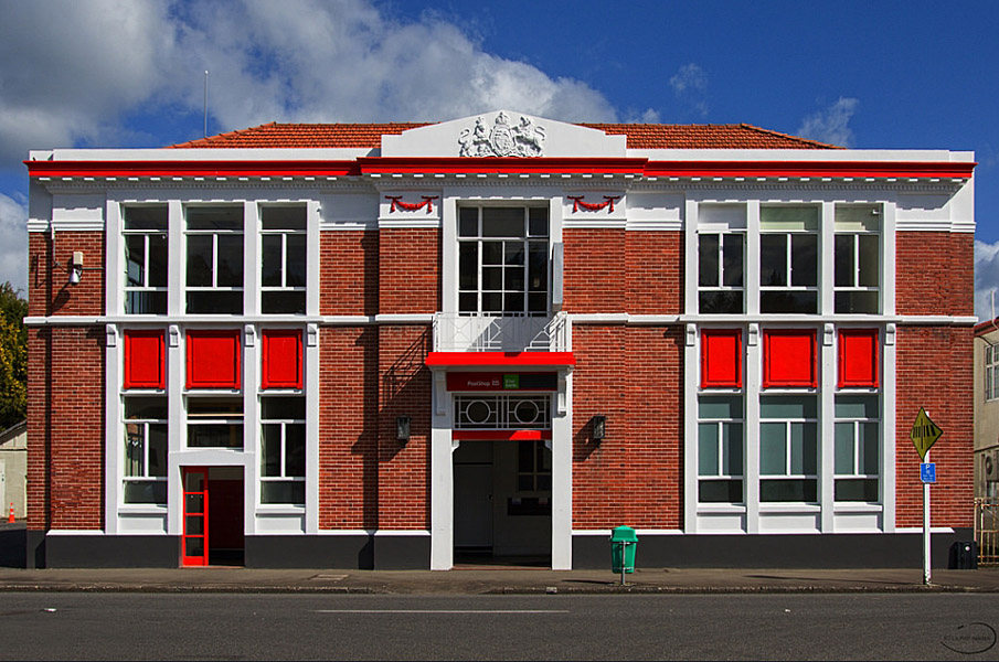
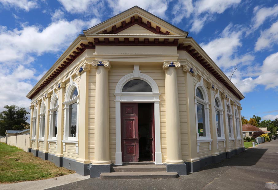
Bank of New Zealand (Former)
59 Seddon Street and Duncan Street, Raetihi
Negotiation · 59 Seddon Street
Photo: 2017, © Alastair Grant
The places in Ruapehu District on the New Zealand Heritage List / Rārangi Kōrero, 13 of them Category 1. Open one for its photos, when it was built and listed, and the property it stands on. Ruapehu District Council may protect more places in its district plan than the national list holds: see the council's page.
59 Seddon Street and Duncan Street, Raetihi
Negotiation · 59 Seddon Street
Photo: 2017, © Alastair Grant
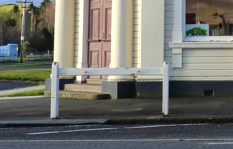
59 Seddon Street (on street in front of), Raetihi
Negotiation · 59 Seddon Street
Photo: Michal Klajban, 2014, © Michal Klajban - Wikimedia Commons
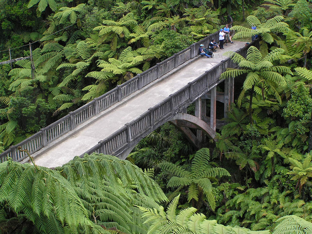
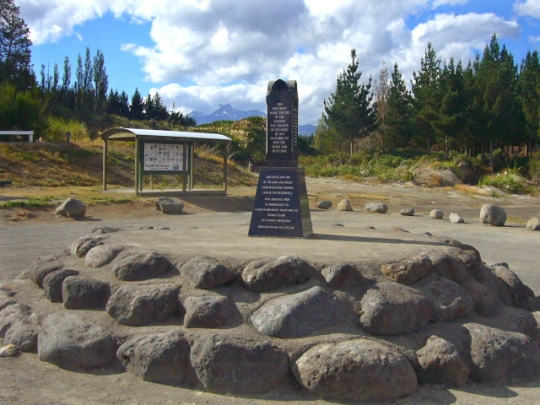
Hut Flat, Whakapapa Village, Tongariro National Park, Ruapehu
Photo: Alan Graham, © Alan Graham
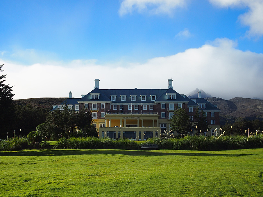
Bruce Road, Whakapapa Village, Ruapehu
97 Ngauruhoe Terrace: values, sales and more →
Photo: Karen Astwood, 2018, © Heritage New Zealand Pouhere Taonga
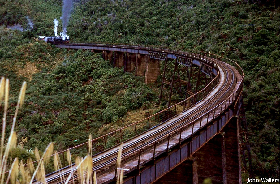
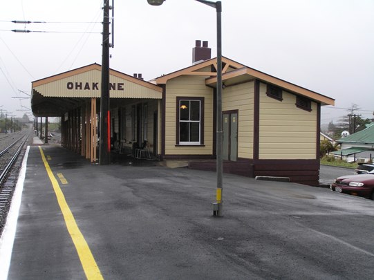
Tongariro National Park, OHAKUNE and HOROPITO
Photo: John Wallers - Wheel5800, 1967, © c/- Steve Watts
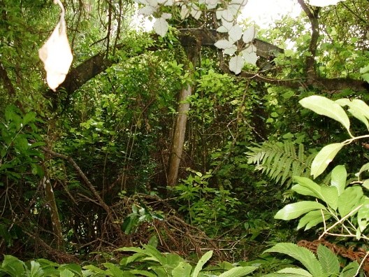
Tongariro Forest Park, Ruapehu
The property: values, sales and more →
Photo: Katherine Mercer, 2004, © Heritage New Zealand Pouhere Taonga
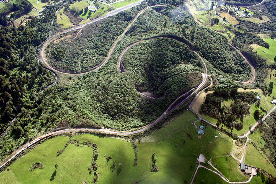
North Island Main Trunk (NIMT), POKAKA and ERUA
Photo: N Jackson, 2016, © Heritage New Zealand Pouhere Taonga
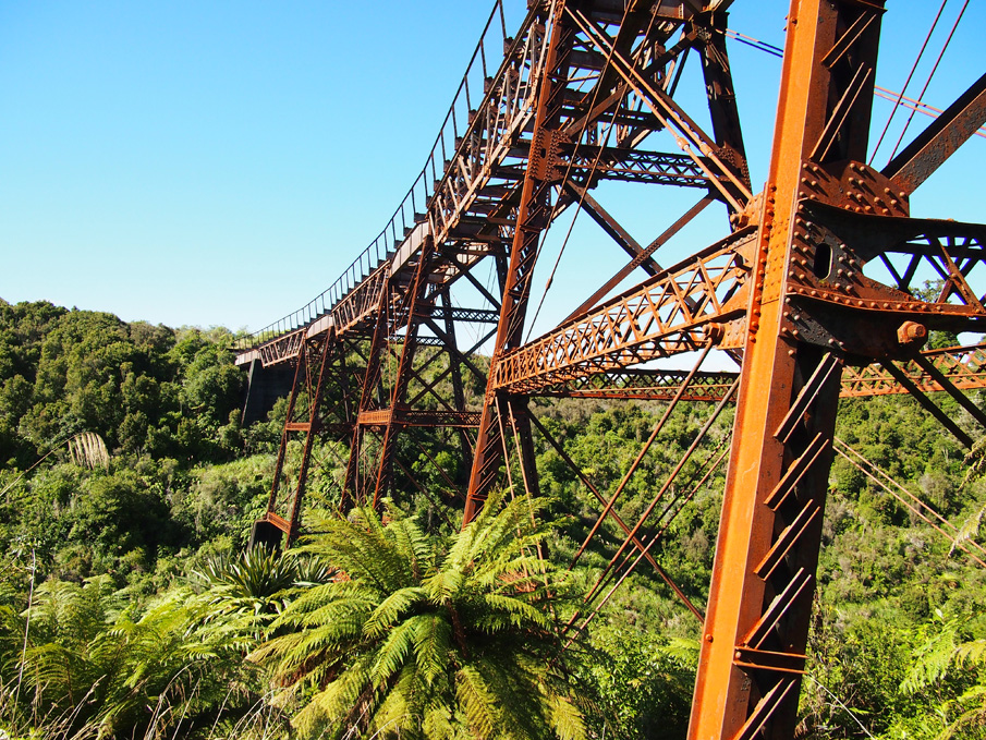
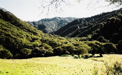
Mangapurua Valley, Whanganui National Park, Wanganui / Whanganui
Photo: Jessica Ebrey, 2005, © Jessica Ebrey - Wikimedia Commons
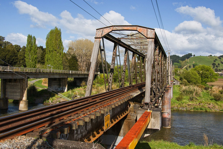
North Island Main Trunk Line, MANUNUI and TAUMARUNUI
Photo: Paul Le Roy, 2017, © Paul Le Roy – Minicooperd
Southern terminus: Ohakune; Northern terminus: Horopito, Ohakune
On 2 properties
Photo: Karen Cheer, 2003, © Heritage New Zealand Pouhere Taonga
North Island Main Trunk Railway, Raurimu
Photo: Jenny Scott, 2012, © Jenny Scott
State Highway 49, Tangiwai
920 State Highway 49: values, sales and more →
Photo: Schwede66, 2022, © Schwede66 - Wikimedia Commons
Tongariro National Park, OHAKUNE and HOROPITO
Photo: Karen Astwood, 2018, © Heritage New Zealand Pouhere Taonga
State Highway 47, (26kms southwest of Tūrangi), Tongariro
On 3 properties
Photo: Grant Sheehan, 2019, © Heritage New Zealand Pouhere Taonga
Waiouru Military Camp, Waiouru
On 3 properties
Photo: © New Zealand Defence Force
State Highway 47 (26 kms southwest of Turangi), Tongariro
On 2 properties
Photo: Grant Sheehan, 2019, © Heritage New Zealand Pouhere Taonga
2538 Pipiriki-Raetihi Road, Pipiriki
2538-2540 Pipiriki Raetihi Road: values, sales and more →
Photo: Unknown, © Heritage New Zealand Pouhere Taonga
48 Miriama Street, Taumarunui
48 Miriama Street: values, sales and more →
Photo: Paul Le Roy, 2017, © Paul Le Roy – Minicooperd
59 Seddon Street and Duncan Street, Raetihi
59 Seddon Street: values, sales and more →
Photo: 2017, © Alastair Grant
102 Seddon Street, Raetihi
102 Seddon Street: values, sales and more →
Photo: Greg Mason, 2001, © Heritage New Zealand Pouhere Taonga
State Highway 48 (Bruce Road), Whakapapa Village, Mount Ruapehu
The property: values, sales and more →
Photo: Glen Hazleton, © Department of Conservation
59 Seddon Street (on street in front of), Raetihi
59 Seddon Street: values, sales and more →
Photo: Michal Klajban, 2014, © Michal Klajban - Wikimedia Commons
Powells Road, Karioi
Photo: Rebecca O'Brien, © Heritage New Zealand Pouhere Taonga
23 Ward Street, Raetihi
23 Ward Street: values, sales and more →
Photo: Rebecca O'Brien, © Heritage New Zealand Pouhere Taonga
State Highway 4, Erua
The property: values, sales and more →
Photo: Glen Hazleton, 2005, © Department of Conservation
North Island Main Trunk (NIMT), HOROPITO and POKAKA
Photo: Karen Astwood, 2008, © Heritage New Zealand Pouhere Taonga
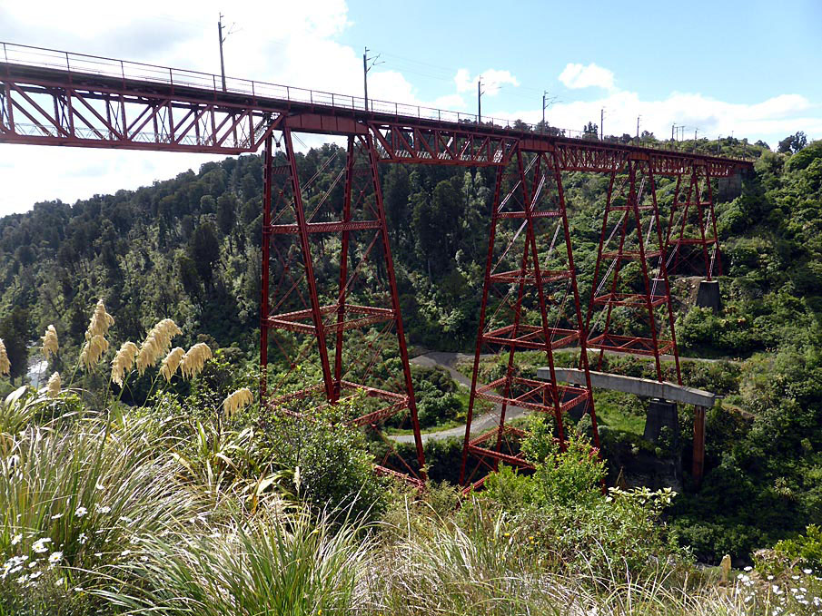
State Highway 4, Manganui-O-Te-Ao
Photo: C Horwell, 2026, © Heritage New Zealand Pouhere Taonga
1/27, 29 Thames Street, Ohakune
On 2 properties
Photo: Karen Astwood, 2008, © Heritage New Zealand Pouhere Taonga
Whanganui River Road, Pipiriki
On 9 properties
Photo: Jonathan Welch, 2005, © Department of Conservation
Tokirima
Photo: Greg Mason, 2001, © Heritage New Zealand Pouhere Taonga
Miro Street, Manunui
Photo: Greg Mason, 2001, © Heritage New Zealand Pouhere Taonga
47 Miriama Street, Taumarunui
47-49 Miriama Street: values, sales and more →
Photo: Paul Le Roy – Minicooperd, 2017, © Paul Le Roy
25 Seddon Street, Raetihi
25 Seddon Street: values, sales and more →
Photo: Lawrence Wilkinson, 2010, © Lawrence Wilkinson
Argo Road, Waioru Military Camp, Waiouru
On 3 properties
Photo: Emma Brooks, 2004, © Heritage New Zealand Pouhere Taonga
Within Area Boundary
Photo: Jonathan Welch, 2005, © Department of Conservation
Within Area Boundary
Photo: Jonathan Welch, 2005, © Department of Conservation
Within Area Boundary
Photo: Jonathan Welch, 2005, © Department of Conservation
Within Area Boundary
Photo: Jonathan Welch, 2005, © Department of Conservation
Within Area Boundary
Photo: Jonathan Welch, 2005, © Department of Conservation
Within Area Boundary
Photo: Jonathan Welch, 2005, © Department of Conservation
Within Area Boundary
Photo: Jonathan Welch, 2005, © Department of Conservation
Within Area Boundary
Photo: Karen Astwood, 2009, © Heritage New Zealand Pouhere Taonga
Within Area Boundary
Photo: Jonathan Welch, 2005, © Department of Conservation
Within Area Boundary
Photo: Jonathan Welch, 2005, © Department of Conservation
Within Area Boundary
Photo: Karen Astwood, 2009, © Heritage New Zealand Pouhere Taonga
Within Area Boundary
Photo: Karen Astwood, 2009, © Heritage New Zealand Pouhere Taonga
Within Area Boundary
Photo: Karen Astwood, 2009, © Heritage New Zealand Pouhere Taonga
Within Area Boundary
Photo: Jonathan Welch, 2005, © Department of Conservation
Within Area Boundary
Photo: Karen Astwood, 2009, © Heritage New Zealand Pouhere Taonga
Within Area Boundary
Photo: Jonathan Welch, 2005, © Department of Conservation
Source: the New Zealand Heritage List / Rārangi Kōrero, Heritage New Zealand Pouhere Taonga. Photos are Heritage New Zealand's, shown with their credits. Every council's listed places.