State Highway 6, Okaramio
State Highway 6 in Okaramio has 28 properties, valued by the council between $450,000 and $1,500,000 with a median of $680,000 (Okaramio: $850,000). More of its homes were built in the 2000s than in any other decade. We estimate its homes at a median $715,000. The last sale we have was in February 2022, for $1,600,000.
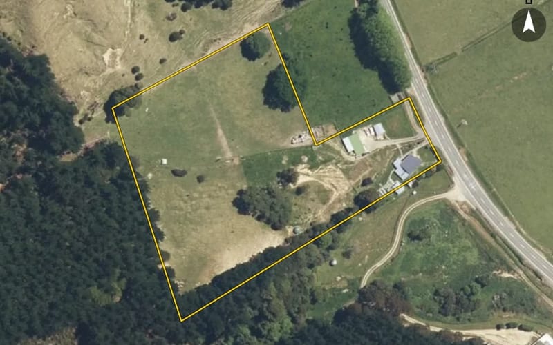
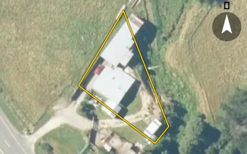
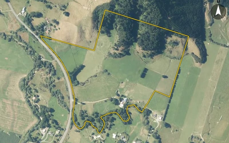
28 properties on State Highway 6, Okaramio
Highest and lowest on State Highway 6
Property values on State Highway 6
The council values State Highway 6's 19 rated properties between $450,000 and $1,500,000. The middle half sit between about $563,000 and $966,000; the median is $680,000 and the mean $797,632.
| Bedrooms | Homes | Median council value | Sold, last 12 months | Median sale |
|---|---|---|---|---|
| 3 | 8 | $668k | 0 | — |
| 4 | 6 | $1.05m | 0 | — |
Council rating valuations: the council's figure for apportioning rates, not a market appraisal.
State Highway 6 compared with Okaramio
State Highway 6's median council value is 20% below Okaramio's.
| State Highway 6 | Okaramio | Havelock | |
|---|---|---|---|
| Median council value | $680k | $850k | $600k |
| Median section | 23,800 m² | 27,520 m² | 3,135 m² |
| Median year built | 1990 | 2000 | 1990 |
| Council value per m² of floor | $5k | $5k | $5k |
Recent sales on State Highway 6
- 2628 State Highway 6$1,600,00014 Feb 2022 · 350 m² floor · 31.7 ha land
- 2135 State Highway 6$310,00029 Nov 2021 · 80 m² floor · 1.17 ha land
- 2443 State Highway 6$788,00022 Oct 2019 · 4 bed · 211 m² floor · 2.38 ha land
- 2133 State Highway 6$729,00022 Dec 2018 · 4 bed · 170 m² floor · 3.21 ha land
- 2653 State Highway 6$270,0007 Jun 2018 · 2.62 ha land
- 2133 State Highway 6$750,00023 Nov 2017 · 4 bed · 170 m² floor · 3.21 ha land
- 2574 State Highway 6$670,85030 Oct 2015 · 4 bed · 139 m² floor · 10 ha land
- 2385 State Highway 6$362,00014 Sept 2015 · 3 bed · 160 m² floor · 5.67 ha land
- 2381 State Highway 6$750,00010 Dec 2014 · 4 bed · 247 m² floor · 14.8 ha land
- 2443 State Highway 6$528,00030 Nov 2014 · 4 bed · 211 m² floor · 2.38 ha land
- 2443 State Highway 6$515,00028 Jun 2013 · 4 bed · 211 m² floor · 2.38 ha land
- 2694 State Highway 6$273,00028 Mar 2013 · 3 bed · 130 m² floor · 822 m² land
- 2921 State Highway 6$330,00011 Jun 2012 · 3 bed · 110 m² floor · 1,265 m² land
- 2133 State Highway 6$520,0005 Aug 2011 · 4 bed · 170 m² floor · 3.21 ha land
- 2146 State Highway 6$360,00011 Feb 2010 · 3 bed · 141 m² floor · 3,439 m² land
- 2694 State Highway 6$241,0004 Dec 2009 · 3 bed · 130 m² floor · 822 m² land
- 2388 State Highway 6$235,0002 Nov 2009 · 4 bed · 275 m² floor · 2.6 ha land
- 2384 State Highway 6$270,0006 Jun 2008 · 3 bed · 180 m² floor · 1.61 ha land
- 2921 State Highway 6$300,00018 Mar 2008 · 3 bed · 110 m² floor · 1,265 m² land
- 2694 State Highway 6$235,00015 Nov 2005 · 3 bed · 130 m² floor · 822 m² land
The homes on State Highway 6
State Highway 6 has 28 houses. More were built in the 2000s than in any other decade (24%).
Building and resource consents on State Highway 6
- 2676 State Highway 61 Jun 2026 · Building consentAlt & add to dwg - add of shower in the laundry & installation of lift
- 2574 State Highway 61 Jun 2026 · Building consentDwg alterations
- 2447 State Highway 61 May 2026 · Building consentSiting of a brand new transportable dwg
- 2676 State Highway 61 Feb 2026 · Building consentTwo pole sheds
- 2676 State Highway 61 Apr 2025 · Building consentOn-site wastewater system
- 2474-2478 State Highway 612 Dec 2023 · Resource consentTo subdivide Lots 3, 4, 6, 9 - 14 DP 12282 and Lots 1 & 3 DP 400919 into four records of title as boundary adjustment.
- 2474-2478 State Highway 62 Oct 2023 · Resource consentTo operate machinery and undertake land disturbance within 8 metres of unnamed tributaries of Are Are Creek for channel shaping and within 8 metres of Are Are Creek for remediating erosion on Lots 1 &
- 2474-2478 State Highway 62 Oct 2023 · Resource consentTo remove weeds, sediment, flood debris and vegetation from unnamed tributary channels and to remove willows, trees and branches from Are Are Creek located on Lots 1 & 3 DP 400919, and Lots 4, 6, 10,
- 3105 State Highway 613 Jun 2023 · Resource consentTo install 3 culverts in un-named watercourses located at/about 1663885E 5421445N on Part Section 42 Havelock Suburban DIST, 1663855E 5421453N on Part Section 42 Havelock Suburban DIST, and 1663238E 5
- 2474-2478 State Highway 69 Feb 2023 · Resource consentTo abstract Are Are FMU water up to a maximum of 407.4 cubic metres per day from a direct suction pipe located at Grid Reference 1664160E 5413522N.
State Highway 6 in other suburbs
More streets in Okaramio
Every street in Okaramio, and the suburb's house prices and sales.
Sales and valuations as at 11 September 2026, from council and LINZ records. Medians resting on fewer than 3 sales are not shown.
Agents who sold on State Highway 6
The real estate agents credited on State Highway 6 sales since 2016, most first. Selling here? These are the agents who have sold your neighbours' homes. A count of sales, not a rating. Every agent who sold in Okaramio.
- Ian FyfeRay White Blenheim & Picton1 sale on State Highway 6 · last Nov 2017
- 2133 State Highway 6Nov 2017 · $750k
11 sales on State Highway 6 since 2016; 1 of them name an agent we can show, and the counts here are taken from those.
Every address on State Highway 6
28
- 1988 State Highway 6
- 2011 State Highway 6
- 2075 State Highway 6
- 2133 State Highway 6
- 2135 State Highway 6
- 2146 State Highway 6
- 2210 State Highway 6
- 2368-2374 State Highway 6
- 2381 State Highway 6
- 2384 State Highway 6
- 2385 State Highway 6
- 2387 State Highway 6
- 2388 State Highway 6
- 2443 State Highway 6
- 2447 State Highway 6
- 2474-2478 State Highway 6
- 2476 State Highway 6
- 2518 State Highway 6
- 2574 State Highway 6
- 2586 State Highway 6
- 2628 State Highway 6
- 2653 State Highway 6
- 2676 State Highway 6
- 2694 State Highway 6
- 2784 State Highway 6
- 2921 State Highway 6
- 2972 State Highway 6
- 3105 State Highway 6
About property on State Highway 6, Okaramio
Every property in State Highway 6, Okaramio, whether it is for sale or not: homes, sections, farms, lifestyle blocks, shops, offices and industrial land. Each is listed from the council rating roll and Toitū Te Whenua LINZ, with the listing beside it when an agent is marketing it.
Each property has its own page: our estimate of its value beside the council rating valuation, past sale prices, the title and land area, zoning and hazards, building consents, and what it would cost to own.
Listings are published by the agents who market them. Addresses, land details and rating valuations come from Toitū Te Whenua Land Information New Zealand and from the council. No ownership information is published.
Header photo: Michal Klajban, CC BY-SA 4.0, via Wikimedia Commons (licence).