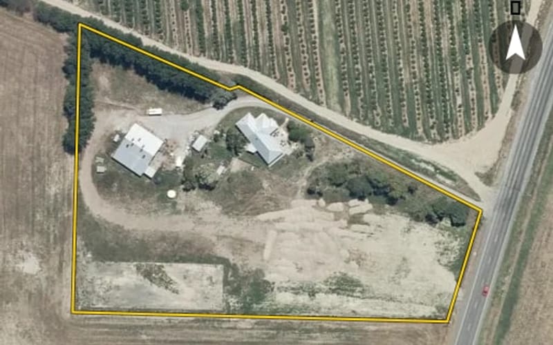
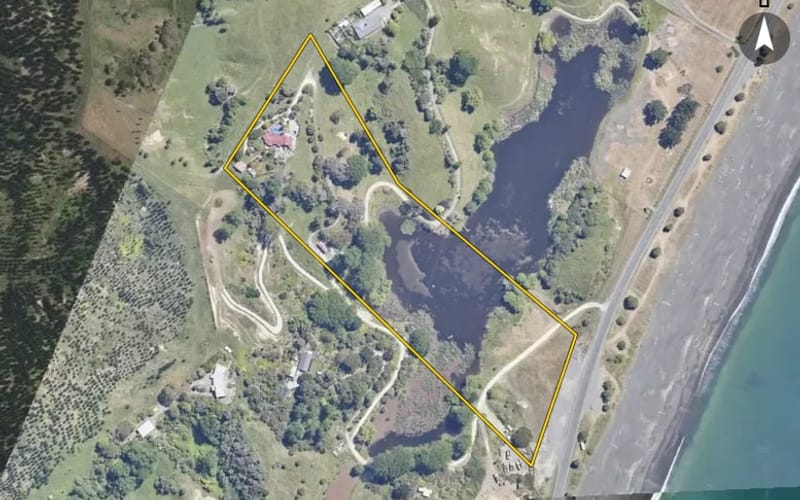
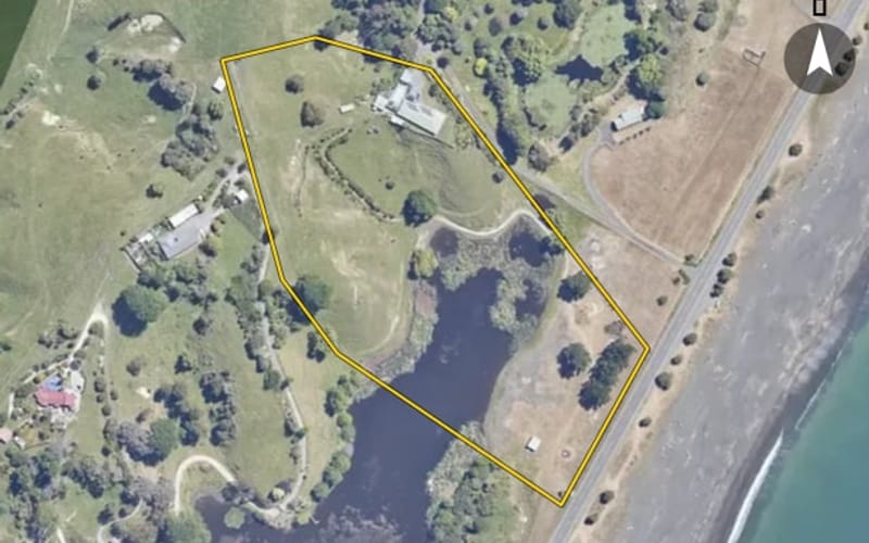
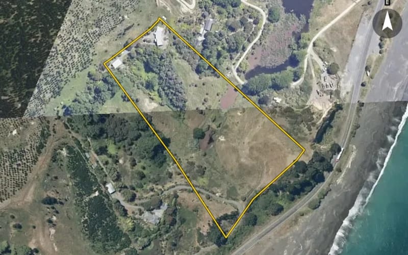
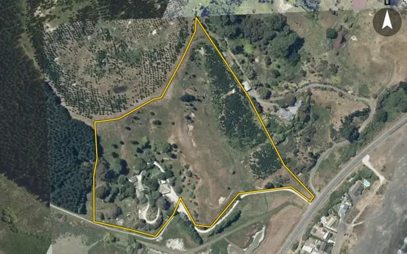
State Highway 2, Eskdale
State Highway 2 in Eskdale has 24 properties, valued by the council between $300,000 and $2,250,000 with a median of $1,520,000 (Eskdale: $1,050,000). More of its homes were built in the 1970s than in any other decade. We estimate its homes at a median $1,520,000. The last sale we have was in February 2025, for $1,550,000. 1 is for sale now.
24 properties on State Highway 2, Eskdale

Highest and lowest on State Highway 2
Property values on State Highway 2
The council values State Highway 2's 19 rated properties between $300,000 and $2,250,000. The middle half sit between about $1,332,000 and $1,840,000; the median is $1,520,000 and the mean $1,498,789.
| Bedrooms | Homes | Median council value | Sold, last 12 months | Median sale |
|---|---|---|---|---|
| 3 | 4 | $1.4m | 0 | — |
| 4 | 12 | $1.55m | 0 | — |
| 5+ | 1 | $2.18m | 0 | — |
Council rating valuations: the council's figure for apportioning rates, not a market appraisal.
State Highway 2 compared with Eskdale
State Highway 2's median council value is 45% above Eskdale's.
| State Highway 2 | Eskdale | Napier | |
|---|---|---|---|
| Median council value | $1.52m | $1.05m | $700k |
| Median section | 40,646 m² | 5,146 m² | 683 m² |
| Median year built | 1975 | 1990 | 1970 |
| Council value per m² of floor | $7k | $7k | $5k |
State Highway 2 house prices over time
Median sale price by year; 2025 is the year so far. A year with fewer than two sales has no bar.
Sales by year as a table
| Year | Sales | Median price | Per m² floor |
|---|---|---|---|
| 2025 | 1 | $1,550,000 | $8,611 |
| 2023 | 2 | $1,575,000 | $4,954 |
| 2022 | 1 | $2,550,000 | $9,140 |
| 2021 | 2 | $1,650,000 | $6,814 |
| 2020 | 2 | $1,105,000 | $6,077 |
| 2018 | 1 | $470,000 | $4,273 |
| 2016 | 1 | $835,000 | $3,630 |
Recent sales on State Highway 2
- 1315 State Highway 2$1,550,00014 Feb 2025 · 4 bed · 180 m² floor · 6.18 ha land
- 1443 State Highway 2$1,550,0003 Aug 2023 · 3 bed · 298 m² floor · 4.16 ha land
- 1423 State Highway 2$1,600,0009 Jun 2023 · 4 bed · 340 m² floor · 4.05 ha land
- 1317 State Highway 2$2,550,0004 Jun 2022 · 4 bed · 279 m² floor · 4.05 ha land
- 1315 State Highway 2$1,500,00014 Jul 2021 · 4 bed · 180 m² floor · 6.18 ha land
- 1423 State Highway 2$1,800,0001 Jun 2021 · 4 bed · 340 m² floor · 4.05 ha land
- 1001 State Highway 2$950,00016 Dec 2020 · 3 bed · 130 m² floor · 2,543 m² land
- 1279 State Highway 2$1,260,00015 May 2020 · 3 bed · 260 m² floor · 8.19 ha land
- 1078 State Highway 2$470,00025 Jun 2018 · 110 m² floor · 7.34 ha land
- 1319 State Highway 2$835,00012 Aug 2016 · 4 bed · 230 m² floor · 4.47 ha land
- 1076 State Highway 2$700,0003 Sept 2015 · 4 bed · 150 m² floor · 7,780 m² land
- 1001 State Highway 2$237,0008 Aug 2013 · 3 bed · 130 m² floor · 2,543 m² land
- 1375 State Highway 2$500,00016 May 2013 · 4 bed · 134 m² floor · 4.27 ha land
- 1074 State Highway 2$900,00021 Feb 2013 · 4 bed · 202 m² floor · 5,886 m² land
- 1078 State Highway 2$900,00021 Feb 2013 · 110 m² floor · 7.34 ha land
- 1443 State Highway 2$765,00017 Dec 2010 · 3 bed · 298 m² floor · 4.16 ha land
- 1076 State Highway 2$730,0006 Nov 2009 · 4 bed · 150 m² floor · 7,780 m² land
- 1317 State Highway 2$1,000,00015 Jun 2008 · 4 bed · 279 m² floor · 4.05 ha land
- 1263 State Highway 2$1,462,50017 Oct 2007 · 5 bed · 466 m² floor · 6.24 ha land
- 1023 State Highway 2$470,00022 Nov 2006 · 4 bed · 370 m² floor · 1.5 ha land
The homes on State Highway 2
State Highway 2 has 23 houses and 1 section. More were built in the 1970s than in any other decade (22%).
Building and resource consents on State Highway 2
- 1379 State Highway 21 Aug 2025 · Building consentA dbl gge used for storage of vehicles & farm equipment.
- 1443 State Highway 21 Jun 2024 · Building consentAdditions, alterations to dwg & new pole shed
- 1078 State Highway 21 Nov 2022 · Building consentNew transportable dwelling (bearers down)
- 1078 State Highway 27 Nov 2025 · Resource consentOic for whirinaki flood protection works
State Highway 2 in other suburbs
More streets in Eskdale
- Whirinaki Road123
- North Shore Road53
- Avery Road41
- State Highway 535
- Seafield Road34
- Eskridge Drive33
- Heipipi Drive31
- Hill Road28
- Ellis Wallace Road25
- Esk View Road25
- Hedgeley Road24
- Pohutukawa Drive19
Every street in Eskdale, and the suburb's house prices and sales.
Sales and valuations as at 11 September 2026, from council and LINZ records. Medians resting on fewer than 3 sales are not shown.
Agents who sold on State Highway 2
The real estate agents credited on State Highway 2 sales since 2016, most first. Selling here? These are the agents who have sold your neighbours' homes. A count of sales, not a rating. Every agent who sold in Eskdale.
Zak MarsdenRay White Hawke's Bay Hastings Branch1 sale on State Highway 2 · last Aug 2023- 1443 State Highway 2Aug 2023 · $1.55m
13 sales on State Highway 2 since 2016; 1 of them name an agent we can show, and the counts here are taken from those.
Every address on State Highway 2
24
- 996 State Highway 2
- 999 State Highway 2
- 1001 State Highway 2
- 1023 State Highway 2
- 1074 State Highway 2
- 1076 State Highway 2
- 1078 State Highway 2
- 1083 State Highway 2
- 1085 State Highway 2
- 1161 State Highway 2
- 1263 State Highway 2
- 1279 State Highway 2
- 1315 State Highway 2
- 1317 State Highway 2
- 1319 State Highway 2
- 1375 State Highway 2
- 1377 State Highway 2
- 1379 State Highway 2
- 1403 State Highway 2
- 1405 State Highway 2
- 1421 State Highway 2
- 1423 State Highway 2
- 1443 State Highway 2
- 1449 State Highway 2
About property on State Highway 2, Eskdale
Every property in State Highway 2, Eskdale, whether it is for sale or not: homes, sections, farms, lifestyle blocks, shops, offices and industrial land. Each is listed from the council rating roll and Toitū Te Whenua LINZ, with the listing beside it when an agent is marketing it.
Each property has its own page: our estimate of its value beside the council rating valuation, past sale prices, the title and land area, zoning and hazards, building consents, and what it would cost to own.
Listings are published by the agents who market them. Addresses, land details and rating valuations come from Toitū Te Whenua Land Information New Zealand and from the council. No ownership information is published.
Header photo: Colin Watts on Unsplash (licence).