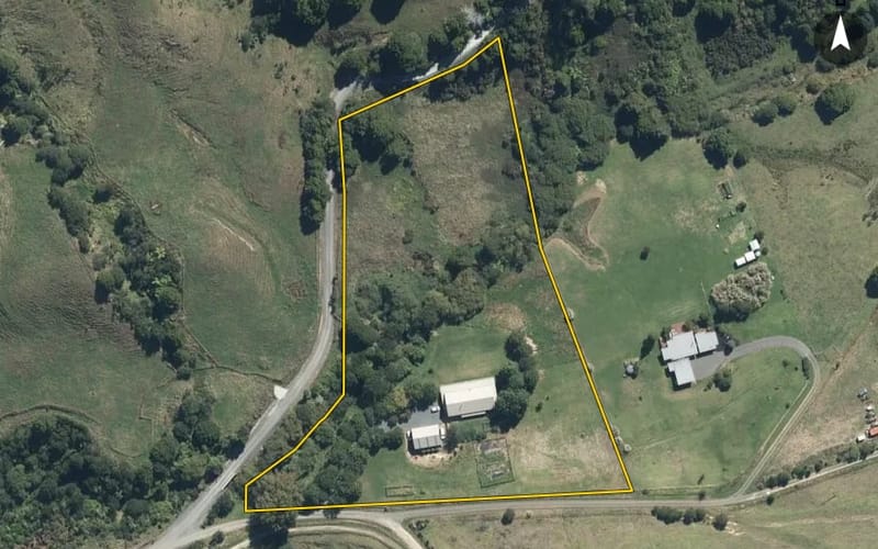
44 properties · Makarau, Warkworth

Burnside Road, Makarau

Burnside Road in Makarau has 44 properties, valued by the council between $450,000 and $3,900,000 with a median of $1,055,000 (Makarau: $1,050,000). More of its homes were built in the 2000s than in any other decade. We estimate its homes at a median $982,500. 1 sold in the last twelve months.

$1.05mmedian council valuation
$983kour median estimate
1sold in the last 12 months
1990median year built
WarkworthMakarau ×Burnside Road ×

44 properties on Burnside Road, Makarau

Highest and lowest on Burnside Road

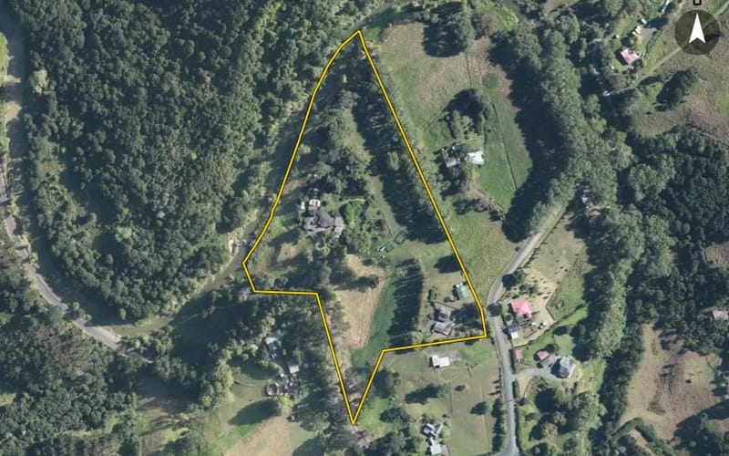
Highest-valued home532 Burnside Road$3,900,000council valuation · 211.9 ha land
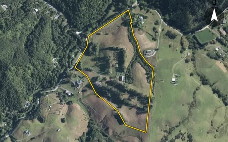
Lowest-valued home119 Burnside Road$450,000council valuation · 3 bed · 36 m² floor · 1.03 ha land
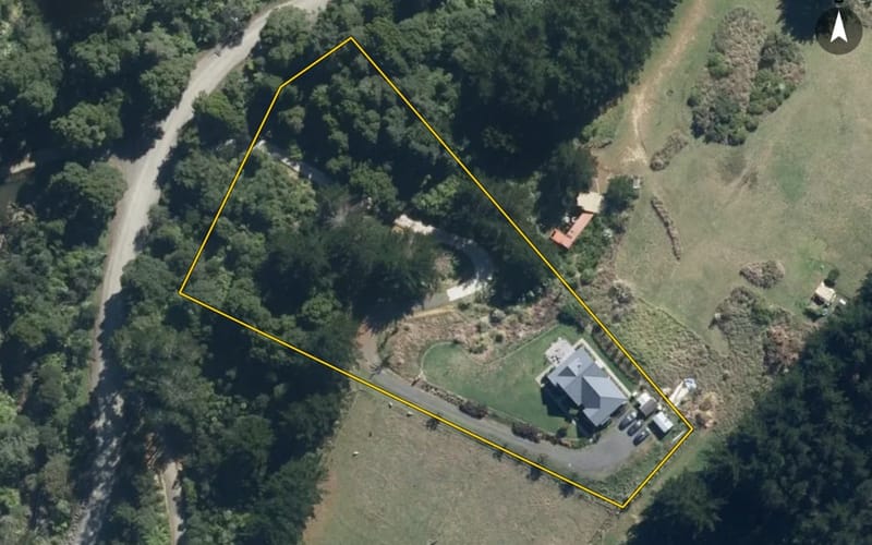
Highest sale, last 12 months450 Burnside Road$1,300,000sold 18 Sept 2025 · 3 bed · 93 m² floor · 36.9 ha land

Property values on Burnside Road

The council values Burnside Road's 43 rated properties between $450,000 and $3,900,000. The middle half sit between about $807,000 and $1,324,000; the median is $1,055,000 and the mean $1,175,372.

Lowest: $450k$450kLowest10%: $571k20%: $738k20%30%: $876k40%: $979k40%Median: $1.05m60%: $1.19m60%70%: $1.27m80%: $1.38m80%90%: $1.82mHighest: $3.9m$3.9mHighest
BedroomsHomesMedian council valueSold, last 12 monthsMedian sale
11$560k0—
22$775k0—
320$1.18m1—
49$1.23m0—
5+3$1.83m0—

Council rating valuations: the council's figure for apportioning rates, not a market appraisal.

Burnside Road compared with Makarau

Burnside Road's median council value is about the same as Makarau's.

Burnside RoadMakarauWarkworth
Median council value$1.05m$1.05m$1.13m
Sold in the last 12 months2.3%3.2%3.3%
Median section19,980 m²19,932 m²3,920 m²
Median year built199019901990
Council value per m² of floor$8k$7k$7k

Burnside Road house prices over time

Median sale price by year; 2025 is the year so far. A year with fewer than two sales has no bar.

2016: $428k (2 sales)$428k20162017: too few sales to say (1 sale)20172019: $769k (3 sales)20192020: $940k (3 sales)20202021: $1.26m (3 sales)$1.26m20212023: too few sales to say (1 sale)20232025: $1.25m (4 sales, this year so far)$1.25m2025
Sales by year as a table
YearSalesMedian pricePer m² floor
20254$1,250,000$6,109
20231$1,127,500$10,250
20213$1,265,000$6,461
20203$940,000$4,052
20193$769,000$9,152
20171$800,000$4,790
20162$427,500$2,360

Recent sales on Burnside Road

The homes on Burnside Road

Burnside Road has 44 houses. More were built in the 2000s than in any other decade (24%).

1920s: 1 (1 home)11930s: 2 (2 homes)1930s1940s: 2 (2 homes)1950s: 5 (5 homes)1950s1970s: 3 (3 homes)1980s: 1 (1 home)1980s1990s: 5 (5 homes)2000s: 9 (9 homes)92000s2010s: 7 (7 homes)2020s: 2 (2 homes)22020s

Building and resource consents on Burnside Road

5building consents in the last 5 years
10resource consents in the last 5 years
  • 436 Burnside Road1 Jun 2026 · Building consentInstall woodfire (masport Kaituna)
  • 288 Burnside Road1 Jul 2023 · Building consentInstall woodfire (metro tiny rad with wetback connection)
  • 382 Burnside Road1 Jan 2023 · Building consentRbw alterations to existing single level dwg, altering internal layout to three-bedrooms, two-bathrooms, laundry, kitchen, dining, living & family room.
  • 150 Burnside Road1 Nov 2022 · Building consentRbw - construction of single storey detached dwg with four bedrooms, bath, ensuite, laundry & dbl gge. & installation of stormwater tanks & waste water system with associated site works.
  • 382 Burnside Road1 Mar 2022 · Building consentRbw - new single level dwg including one bdrm, kitchen, laundry, bathrm & powder room.
  • 532 Burnside Road2 Apr 2025 · Resource consentTo undertake a boundary adjustment which exceeds 10% change of their original size.
  • 16 Burnside Road19 May 2023 · Resource consentThe applicant proposes to construct a bore to enable water take for domestic use activity purposes. The depth of the bore will be 120-150m, the diameter will be 104mm, the casing depth and proposed gr
  • 150 Burnside Road10 Oct 2022 · Resource consentThe proposal involves the discharge of wastewater within a 100m setback from a natural wetland and is a non-complying activity under Regulation 54(c) of the Resource Management (National Environmental
  • 150 Burnside Road10 Oct 2022 · Resource consentThe proposal involves the discharge of stormwater within a 100 m setback from a natural wetland and is a non-complying activity under Regulation 54(c) of the Resource Management (National Environmenta
  • 150 Burnside Road10 Oct 2022 · Resource consentDischarge of sediment laden water

Sales and valuations as at 11 September 2026, from council and LINZ records. Medians resting on fewer than 3 sales are not shown.

Agents who sold on Burnside Road

The real estate agents credited on Burnside Road sales since 2016, most first. Selling here? These are the agents who have sold your neighbours' homes. A count of sales, not a rating. Every agent who sold in Makarau.

  1. Colin GrantArizto
    7 sales on Burnside Road · last Jul 2025
  2. Mallory HigginsHarcourts North Rodney
    1 sale on Burnside Road · last Apr 2025
  3. Tracey PaddisonHarcourts North Rodney
    1 sale on Burnside Road · last Apr 2025
  4. Wendy TreadwellHarcourts Browns Bay
    1 sale on Burnside Road · last Apr 2025
  5. Kelly DavisonBarfoot & Thompson Kumeu
    1 sale on Burnside Road · last Oct 2021

19 sales on Burnside Road since 2016; 10 of them name an agent we can show, and the counts here are taken from those.

Every address on Burnside Road

44

About property on Burnside Road, Makarau

Every property in Burnside Road, Makarau, whether it is for sale or not: homes, sections, farms, lifestyle blocks, shops, offices and industrial land. Each is listed from the council rating roll and Toitū Te Whenua LINZ, with the listing beside it when an agent is marketing it.

Each property has its own page: our estimate of its value beside the council rating valuation, past sale prices, the title and land area, zoning and hazards, building consents, and what it would cost to own.

Listings are published by the agents who market them. Addresses, land details and rating valuations come from Toitū Te Whenua Land Information New Zealand and from the council. No ownership information is published.